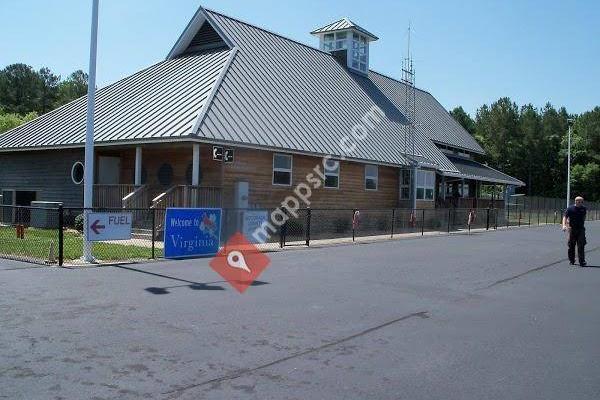


Accomack County Airport is a county-owned public-use airport located 1mi west of the central business district of Melfa, a city in Accomack County, Virginia, United States.HistoryThe airport was built by the United States Army Air Forces about 1942, and was known as Melfa Flight Strip. It was an emergency landing airfield for military aircraft on training flights. It was closed after World War II, and was turned over for local government use by the War Assets Administration (WAA).Facilities and aircraftAccomack County Airport covers an area of 100 acres which contains one runway designated 3/21 with a 5,000 x 100 ft (1,524 x 30 m) asphalt surface. For the 12-month period ending September 30, 2009, the airport had 14,056 aircraft operations, an average of 38 per day: 84% general aviation and 8% air taxi and 9% military. At that time there were 23 aircraft based at this airport: 22 single-engine and 1 multi-engine.
 Eastern Shore Animal Control
366 meter
 STAR Transit
6 miles
You actually need to have a car in order to get to the bus stop, which sort of defeat...
 Greyhound: Bus Station
8 miles
to add Accomack County Airport map to your website;
We use cookies and other tracking technologies to improve your browsing experience on our website, to show you personalized content and targeted ads, to analyze our website traffic, and to understand where our visitors are coming from. Privacy Policy