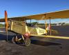
Tompkinsville-Monroe County Airport is a public use airport located two nautical miles (4 km) northeast of the central business district of Tompkinsville, a city in Monroe County, Kentucky, United States. It is included in the National Plan of Integrated Airport Systems for 2011–2015, which categorized it as a general aviation facility.Although most U.S. airports use the same three-letter location identifier for the FAA and IATA, this airport is assigned TZV by the FAA but has no designation from the IATA.Facilities and aircraftTompkinsville-Monroe County Airport covers an area of 120 acres (49 ha) at an elevation of 1,036 feet (316 m) above mean sea level. It has one runway designated 4/22 with an asphalt surface measuring 4,000 by 75 feet (1,219 x 23 m).For the 12-month period ending May 10, 2012, the airport had 5,395 aircraft operations, an average of 14 per day: 90% general aviation, 9% air taxi, and 1% military. At that time there were 22 single-engine aircraft based at this airport.
 Columbia-Adair County Airport
30 miles
Plane-O-Field
45 miles
Columbia-Adair County Airport
30 miles
Plane-O-Field
45 miles
 Bowling Green Airport
46 miles
Tslking to repstive on recording very nice and clear thank you to bowling green ky Lee's Airpark
55 miles
Lake Cumberland Regional Airport
61 miles
Oz Airport-2ky4
64 miles
Oz
64 miles
Addington Field - Elizabethtown Regional Air...
68 miles
14.5 hrs. As trainer pilot, would like to complete the course. Where can I find a my ... Arnolds Airport
69 miles
Robbins Roost
74 miles
Bowling Green Airport
46 miles
Tslking to repstive on recording very nice and clear thank you to bowling green ky Lee's Airpark
55 miles
Lake Cumberland Regional Airport
61 miles
Oz Airport-2ky4
64 miles
Oz
64 miles
Addington Field - Elizabethtown Regional Air...
68 miles
14.5 hrs. As trainer pilot, would like to complete the course. Where can I find a my ... Arnolds Airport
69 miles
Robbins Roost
74 miles
 Samuels Field
75 miles
Beautiful Airport, freshly redone, new asphalt, all new lighting, Fuel prices medium ... Rough River State Park Airport
77 miles
Vine Grove Airport-70KY
77 miles
dewy Mosty sunny and clouded by rain. Chances storms over night Atlantic eastern stan... Carr Airport
80 miles
Really short waiting likeness at security every time. Baggage claim is a simpler affa... Ohio County Airport
83 miles
Standard Field
84 miles
Harold Reynolds
89 miles
Samuels Field
75 miles
Beautiful Airport, freshly redone, new asphalt, all new lighting, Fuel prices medium ... Rough River State Park Airport
77 miles
Vine Grove Airport-70KY
77 miles
dewy Mosty sunny and clouded by rain. Chances storms over night Atlantic eastern stan... Carr Airport
80 miles
Really short waiting likeness at security every time. Baggage claim is a simpler affa... Ohio County Airport
83 miles
Standard Field
84 miles
Harold Reynolds
89 miles
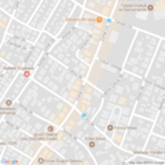
to add Tompkinsville-Monroe County Airport map to your website;

We use cookies and other tracking technologies to improve your browsing experience on our website, to show you personalized content and targeted ads, to analyze our website traffic, and to understand where our visitors are coming from. Privacy Policy