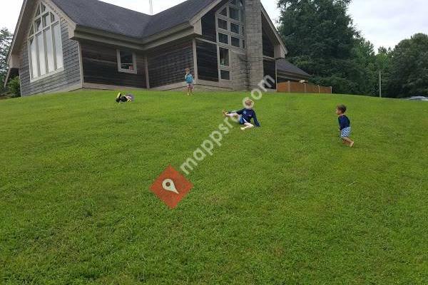


Devils Fork State Park is in northwestern South Carolina on the eastern edge of the Sumter National Forest at the edge of 7,500-acre (3,035 ha) Lake Jocassee. It is located three miles (5 km) off SC 11, the Cherokee Scenic Highway, near tiny Salem, South Carolina.The park offers hiking, camping (including several paddle-in primitive sites), canoeing and kayaking. The park is well known for rainbow and brown trout, as well as largemouth, smallmouth, and white bass, crappie, bream and catfish. The park has accommodations for scuba divers, including a walk-in ramp; thirty foot visibility is common, and due to the lake's recent creation, roads, houses, signs and other marks of human habitation can be seen on the lake bottom.The 622acre park was created in 1990. The park has many small waterfalls that feed lake Jocassee, and is home to the Oconee Bell, a wildflower indigenous to North and South Carolina that grows throughout the park; more than 90 percent of the world population of these delicate white and pink flowers are found in the park.
 Keowee Toxaway State Park
4 miles
Like most SC State Parks, it is a clean, safe and relatively inexpensive place to cam...
 Oconee Station State Historic Site
10 miles
The lady who gave us the tour was very sweet and acknowledged even though she had jus...
 Oconee State Park
11 miles
Great rustic cabins, nice hiking trails, plenty of wildlife in and around the park. N...
 Lake Oolenoy
15 miles
Nice park that is well maintained. Lake is pretty busy in summer, and the hiking is b...
 Table Rock State Park
15 miles
We camped two nights in a trailer. The staff is awesome. Very helpful and friendly. T...
 South Cove County Park
17 miles
Worst camping experience ever , payed good money to stay here had planned on staying...
 Jones Gap State Park
24 miles
The only problem with this park is the limited parking. Once parked this is a gateway...
 Falls Park on the Reedy
32 miles
Falls Park is absolutely gorgeous! Whether it's summer flowers or fall colors, you'...
 McPherson Park
32 miles
Went here for a team building exercise for work. We were in the shelter. The air cond...
 Paris Mountain State Park
33 miles
Good trails, well kept, swimming and canoeing available, playground for the kids. Thi...
 Carolina Wren Park
35 miles
We went to look at the Christmas lights. Saw some of our South Carolinians ice skatin...
 Rail Tail Dog Park
59 miles
We love this park. Great place for dogs to run and play. It has water, pools, agility...
 Calhoun Falls State Park
61 miles
This is an incredible state park. We stayed here for five nights and after the first ...
 Croft State Park
63 miles
I had a great time Riding my bike in the park. The park offers differs activities, yo...
 Musgrove Mill State Historic Site
67 miles
Very nice visitor center and well done displays. Great place for a walk also.
 Rose Hill Plantation State Historic Site
76 miles
One of our state historic sites that has a lot of history along with some nice walkin...
Rose Hill Plantation State Historic Site
76 miles
One of our state historic sites that has a lot of history along with some nice walkin...to add Devil's Fork State Park map to your website;
We use cookies and other tracking technologies to improve your browsing experience on our website, to show you personalized content and targeted ads, to analyze our website traffic, and to understand where our visitors are coming from. Privacy Policy